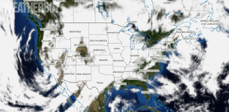
Storms traveling across the country will disrupt Thanksgiving plans for millions of people across the United States this week. Three areas of special concern for the week include a potent snowstorm in the Rockies, a severe weather outbreak around the Mississippi Valley, and windy conditions in the Mid Atlantic and New England.
A winter storm will strengthen as it moves over the mountains and across northeastern Colorado and neighboring states tonight into Tuesday. A large area of heavy snow is likely from the northern Colorado and southern Wyoming mountains eastward into western Nebraska and northwest Kansas. The heavy snow will begin in the northern mountains of Colorado this afternoon and spread southeast to the Fort Collins and Denver area during the evening, and then across the rest of northeast Colorado overnight. The snow will end from west to east during the day Tuesday. The heaviest snow is expected tonight in areas north and northwest of Denver, and Tuesday morning from Denver eastward across the plains and in the foothills west and southwest of Denver.

Beyond travel on the ground, air travel will also be disrupted in this region, and elsewhere across the country because of this system. Air travel in the days before Thanksgiving is among the busiest of the year and air travel delays and cancellations will ripple throughout the country due to problems at Colorado’s Denver Airport. Airlines, such as Delta and United, have already issued weather waivers allowing people to change or cancel their air travel plans with little or no penalty.
As the snowstorm pulls out of the Rockies, a severe weather event is expected to unfold across portions of eastern Texas, Oklahoma, Kansas, and Nebraska, much of Iowa, Illinois, Indiana, Missouri, Arkansas, Alabama, and Louisiana, and western portions of Kentucky, Tennessee, and Alabama. The greatest chance for severe weather will be over Missouri, Arkansas, and Louisiana where severe thunderstorms with large hail, destructive winds, and isolated tornadoes will be possible Tuesday into Wednesday. As with the snowstorm in the Rockies, this severe weather could disrupt air travel at other airports including Chicago, St. Louis, Little Rock, and New Orleans. People traveling through this area should pay careful attention to any watches or warnings that may be issued; people traveling should also become familiar with the counties they’ll be in or passing through, since the National Weather Service issues such advisories on a county-by-county or parish-by-parish basis.
As this storm exits the Mississippi Valley and moves east late Wednesday, howling winds will be the main issue across portions of the upper Midwest, Mid Atlantic, and Northeast into Thanksgiving Day. This could cause problems for the balloons at Macy’s Thanksgiving Day parade in New York City. According to New York City regulations, Thanksgiving Day parade balloons may not be flown when sustained winds exceed 23 mph and gusts exceed 34 mph. For now, the National Weather Service is forecasting west winds of 16 to 20 mph, with gusts as high as 31 mph, just below the threshold that would ground the balloons. Just an increase of 1-3 mph in forecast winds in New York City could ground the iconic balloons.
