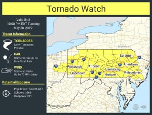
The National Weather Service’s Storm Prediction Center (SPC) has issued a Tornado Watch for portions of Ohio, Pennsylvania, and New Jersey until 10pm. According to the SPC, a “few tornadoes possible” within the watch area, with scattered large hail likely with isolated very large hail events to 2 inches in diameter possible. The SPC also warns that scattered damaging wind gusts to 70 mph are also likely.
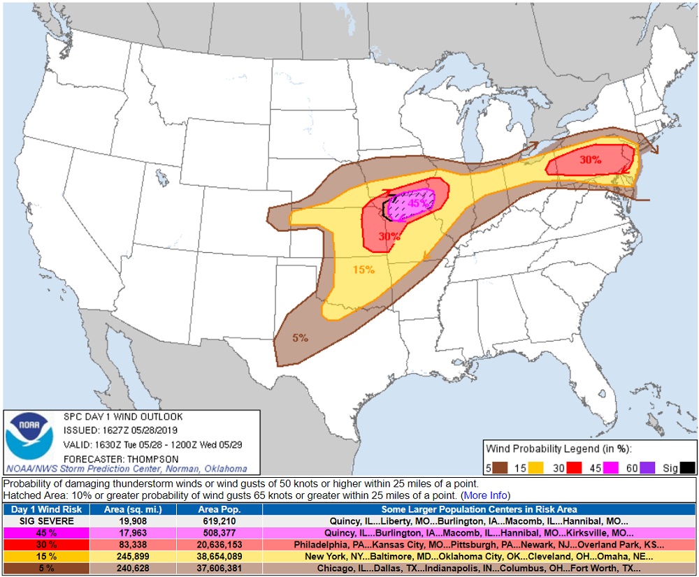
Scattered severe thunderstorm development is expected this afternoon from Ohio into Pennsylvania, and storms will spread generally eastward through this evening. The storm environment will be favorable for supercells capable of producing large hail and damaging winds. A more favorable environment for tornadoes is expected across northern and eastern Pennsylvania into western New Jersey as the low levels destabilize. As such, the Philadelphia metro area has the highest chances for tornadic storms this evening.

The Tornado Watch area is approximately along and 60 statute miles north and south of a line from 40 miles west southwest of Franklin, Pennsylvania to 35 miles north northeast of Trenton, New Jersey. A Tornado Watch means conditions are favorable for tornadoes and severe thunderstorms in and close to the watch area. Persons in these areas should be on the lookout for threatening weather conditions and listen for later statements and possible warnings.
If a Tornado Warning or Tornado Emergency is ever issued for your area, the National Weather Service urges that you:
- Go to the basement or take shelter in a small interior ground floor room such as a bathroom, closet or hallway.
- If you have no basement, protect yourself by taking shelter under a heavy table or desk.
- In all cases, stay away from windows, outside walls and doors.