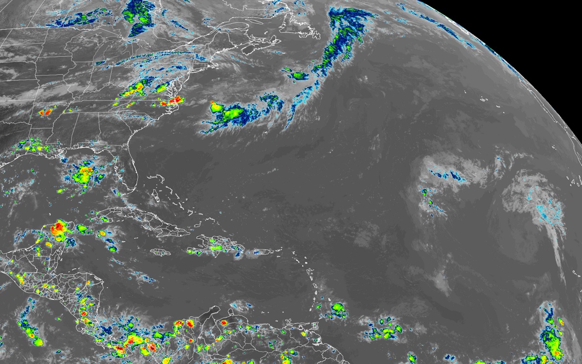
The tropical Atlantic, and the entire Atlantic Hurricane Basin, for that matter, has been especially quiet lately; forecast guidance from the National Hurricane Center suggests this quiet will continue into the first part of August with no hurricanes likely anytime soon. The 2022 Atlantic Hurricane Season began on June 1 and runs through to November 30.
Today’s Tropical Outlook issued by the Miami-based National Hurricane Center (NHC) is a carbon-copy of yesterday’s …and most recent outlooks: “For the North Atlantic…Caribbean Sea and the Gulf of Mexico: Tropical cyclone formation is not expected during the next 5 days.”
The GFS and ECMWF are among many computer models meteorologists use to assist in weather forecasting. While meteorologists have many tools at their disposal to create weather forecasts, two primary global forecast models they do use are the ECMWF from Europe and the GFS from the United States. While the models share a lot of the same initial data, they differ with how they digest that data and compute possible outcomes. One is better than the other in some scenarios, while the opposite is true in others. No model is “right” all the time. Beyond the ECMWF and GFS models, there are numerous other models from other countries, other academic institutions, and private industry that are also considered when making a forecast.

Currently, neither the GFS or ECMWF models suggest any tropical cyclones will develop anywhere in the Atlantic Hurricane Basin through at least the first week of August.
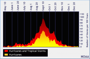
While 2022 has had a quiet start compared to recent years, the slow start to the season isn’t all that unusual. While some tropical storms and hurricanes do form in the first two months of the Atlantic Hurricane season, more form in August and most form in September based on weather records. Mid-September, around September 10-15, is generally considered the peak of the season with the most number of storms in the basin at that time year after year.
Thus far in 2022, there have been three named tropical cyclones in the Atlantic Hurricane Basin: Alex, Bonnie, and Colin. While the system soaked Florida before it became a tropical cyclone, Alex eventually brushed by Bermuda with gusty winds and rain showers in June. Bonnie made history, becoming the second named Atlantic-basin tropical cyclone to cross over Central America and retain its organization and name across the Eastern Pacific basin. Bonnie eventually became a potent hurricane but quickly weakened before it could bring much harm to Hawaii. Colin quickly became a tropical storm off the Carolina coast ahead of the July 4th weekend, but it fizzled apart almost as quickly as it formed.
When a tropical storm does eventually form in the Atlantic basin, the next one will be named Danielle.

Even with a relatively quiet start, forecasters continue to warn that 2022 will be a busy hurricane season. Forecasts, including the one issued by Colorado State University’s Tropical Meteorology Project, continue to call for an above-normal season. In the short term, it is likely dust blowing across the Atlantic from the Sahara Desert will inhibit development. But as different conditions evolve during the second and third weeks of August, the amount and pace of activity in the Atlantic basin will likely pick up.
Check out this GeoColor Composite image from @NOAASatellites #GOES-East! It shows a Saharan Air Layer (SAL) moving across the tropical Atlantic. The air mass can inhibit #tropicalcyclone formation by depriving the storm of moisture & increasing wind shear. Image credit: CIRA/NOAA pic.twitter.com/MWwqGFIwOw
— HRD/AOML/NOAA (@HRD_AOML_NOAA) July 25, 2022